 vesseltracker.com
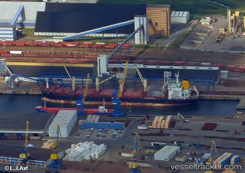
Vessel Orient Accord IMO: 9467627, MMSI: 636018330 Bulk Carrier
UTC, 1.27641, 103.34498, course: 310, speed: 14.1
UTC, 1.27641, 103.34498, course: 310, speed: 14.1
UTC, 3.10922, 100.73278, course: -1, speed: 13.3
UTC, 3.10922, 100.73278, course: -1, speed: 13.3
2026-02-02 12:11:22 UTC, 3.10922, 100.73278, course: -1, speed: 13.3
Live AIS position:
UTC. 23 nm SW of Kuala Selangor),
updated 2026-02-02 12:11:22 UTC.
Find the position of the vessel Orient Accord on the map. The latter are known coordinates and path.
marine traffic ship tracker show on live map
The current position of vessel Orient Accord is 3.10922 lat / 100.73278 lng. Updated: 2026-02-02 12:11:22 UTCDetails:
Last coordinates of the vessel:
UTC, 1.27641, 103.34498, course: 310, speed: 14.1UTC, 1.27641, 103.34498, course: 310, speed: 14.1
UTC, 1.27641, 103.34498, course: 310, speed: 14.1
UTC, 3.10922, 100.73278, course: -1, speed: 13.3
UTC, 3.10922, 100.73278, course: -1, speed: 13.3
2026-02-02 12:11:22 UTC, 3.10922, 100.73278, course: -1, speed: 13.3