 vesseltracker.com
Find the position of the vessel PORTARIA on the map. The latter are known coordinates and path.
marine traffic ship tracker show on live map
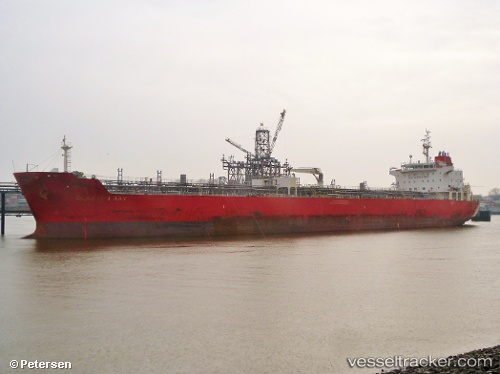
The current position of vessel PORTARIA is 36.68524 lat / -9.18093 lng. Updated: 2025-11-02 08:06:38 UTCCurrently sailing under the flag of Malta
PORTARIA built in 2010 year
Deadweight:
36686 tDetails:
Last coordinates of the vessel:
UTC, 36.55768, -8.51437, course: 280, speed: 11.8UTC, 36.56078, -8.53697, course: 280, speed: 12
UTC, 36.64127, -8.99751, course: 287, speed: 11.6
2025-11-02 08:06:38 UTC, 36.68524, -9.18093, course: 302, speed: 11.1