 vesseltracker.com
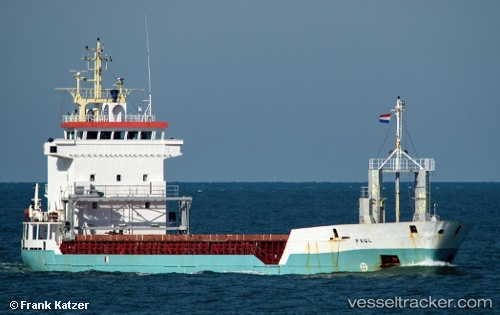
Vessel Paul IMO: 9141352, MMSI: 304052000 Multi Purpose Carrier
UTC, 27.48045, 34.18950, course: 321, speed: 8.9
UTC, 27.61488, 34.02915, course: 311, speed: 9.3
2026-01-31 05:21:32 UTC, 27.80173, 33.79135, course: 319, speed: 10.5
Live AIS position:
UTC. 10 nm E of Zeit Bay),
updated 2026-01-31 05:21:32 UTC.
Find the position of the vessel Paul on the map. The latter are known coordinates and path.
marine traffic ship tracker show on live map
The current position of vessel Paul is 27.80173 lat / 33.79135 lng. Updated: 2026-01-31 05:21:32 UTCCurrently sailing under the flag of Antigua Barbuda
Paul built in 1998 year
Deadweight:
4618 tDetails:
Last coordinates of the vessel:
UTC, 27.13051, 34.51670, course: 327, speed: 9.9UTC, 27.48045, 34.18950, course: 321, speed: 8.9
UTC, 27.61488, 34.02915, course: 311, speed: 9.3
2026-01-31 05:21:32 UTC, 27.80173, 33.79135, course: 319, speed: 10.5