 vesseltracker.com
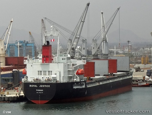
Vessel RADIUS IMO: 9526710, MMSI: 538009787 General Cargo Ship
UTC, 51.45419, 3.72099, course: 58, speed: 0.2
UTC, 51.45407, 3.72086, course: 58, speed: 0.1
2026-02-01 13:27:20 UTC, 51.45408, 3.72093, course: 58, speed: 0.2
Live AIS position:
UTC. Near Nieuwdorp),
updated 2026-02-01 13:27:20 UTC.
Find the position of the vessel RADIUS on the map. The latter are known coordinates and path.
marine traffic ship tracker show on live map
The current position of vessel RADIUS is 51.45408 lat / 3.72093 lng. Updated: 2026-02-01 13:27:20 UTCCurrently sailing under the flag of Marshall Islands
RADIUS built in 2012 year
Deadweight:
36976 tDetails:
Last coordinates of the vessel:
UTC, 51.45406, 3.72087, course: 58, speed: 0.2UTC, 51.45419, 3.72099, course: 58, speed: 0.2
UTC, 51.45407, 3.72086, course: 58, speed: 0.1
2026-02-01 13:27:20 UTC, 51.45408, 3.72093, course: 58, speed: 0.2