 vesseltracker.com
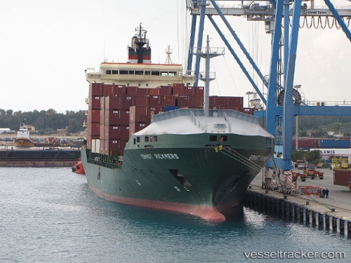
Find the position of the vessel Ruth Borchard on the map. The latter are known coordinates and path.
marine traffic ship tracker show on live map
The current position of vessel Ruth Borchard is 42.1579 lat / 5.10865 lng. Updated: 2025-07-06 16:49:28 UTCCurrently sailing under the flag of Marshall Is
Ruth Borchard built in 2000 year
Deadweight:
15313 tDetails:
Last coordinates of the vessel:
UTC, 41.825, 4.35285, course: 58, speed: 13.4UTC, 41.8808, 4.48252, course: 58, speed: 13.6
UTC, 42.0272, 4.83064, course: 56, speed: 13.6
2025-07-06 16:49:28 UTC, 42.1579, 5.10865, course: 57, speed: 13.7