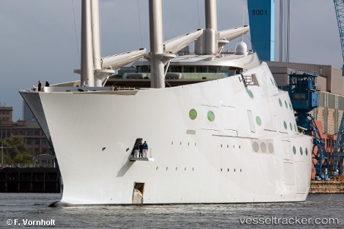
 SY A
SY A
Current Status
Where is the vessel?
SY A is currently in Near Trieste, based on AIS data received about 14h ago.
Latest AIS update:
Current position: 45.65928° N, 13.72940° E (Near Trieste)
Average speed (last 7 days): Loading…
Average speed (last 30 days): Loading…
Vessel profile: SY A is a Sailing with dimensions m x m.
This page combines live AIS, route history, probable destination signals, nearby traffic, and port activity for practical vessel monitoring.
The current position of vessel SY A is 45.65928 lat / 13.72940 lng. Updated: 2026-05-28 00:09:18 UTCNearest reference points:
- Near Trieste
- Near Ankaran
- Near IZOLA
Currently sailing under the flag of Sierra Leone ![]()
Details:
Live Vessel SY A Analytics (details, animations, etc.)
Recent AIS points (UTC):
2026-05-27 19:27:18 UTC · 45.65840, 13.72997 · SOG 0.2 kn · COG 46°2026-05-27 19:45:41 UTC · 45.65837, 13.73007 · SOG 0.1 kn · COG -1°
2026-05-27 22:39:18 UTC · 45.65900, 13.72935 · SOG 0.1 kn · COG 73°
2026-05-28 00:09:18 UTC · 45.65928, 13.72940 · SOG 0.1 kn · COG 105°