 vesseltracker.com
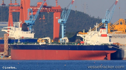
Vessel T.semahat IMO: 9804148, MMSI: 271045353 Crude Oil Tanker
UTC, 50.42804, -0.37572, course: 257, speed: 11.3
UTC, 50.31235, -1.03275, course: 255, speed: 11.9
2026-02-27 19:58:18 UTC, 50.22796, -1.57774, course: 255, speed: 13.4
Live AIS position:
UTC. 19 nm SW of Holbury),
updated 2026-02-27 19:58:18 UTC.
Find the position of the vessel T.semahat on the map. The latter are known coordinates and path.
marine traffic ship tracker show on live map
The current position of vessel T.semahat is 50.22796 lat / -1.57774 lng. Updated: 2026-02-27 19:58:18 UTCCurrently sailing under the flag of Turkey
Details:
Last coordinates of the vessel:
UTC, 50.54178, 0.24332, course: -1, speed: 12.3UTC, 50.42804, -0.37572, course: 257, speed: 11.3
UTC, 50.31235, -1.03275, course: 255, speed: 11.9
2026-02-27 19:58:18 UTC, 50.22796, -1.57774, course: 255, speed: 13.4