 vesseltracker.com
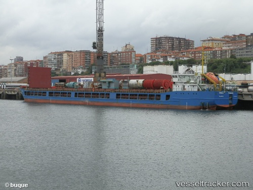
Vessel Tanais IMO: 9305336, MMSI: 273330220 General Cargo Ship
UTC, 46.99269, 38.20156, course: 87, speed: 1.4
UTC, 47.00033, 38.24439, course: 72, speed: 7.3
2026-01-28 15:45:23 UTC, 47.00033, 38.24439, course: 72, speed: 7.3
Live AIS position:
UTC. 31 nm E of Mariupol),
updated 2026-01-28 15:45:23 UTC.
Find the position of the vessel Tanais on the map. The latter are known coordinates and path.
marine traffic ship tracker show on live map
The current position of vessel Tanais is 47.00033 lat / 38.24439 lng. Updated: 2026-01-28 15:45:23 UTCDetails:
Last coordinates of the vessel:
UTC, 46.95657, 38.07796, course: 69, speed: 7UTC, 46.99269, 38.20156, course: 87, speed: 1.4
UTC, 47.00033, 38.24439, course: 72, speed: 7.3
2026-01-28 15:45:23 UTC, 47.00033, 38.24439, course: 72, speed: 7.3