 vesseltracker.com
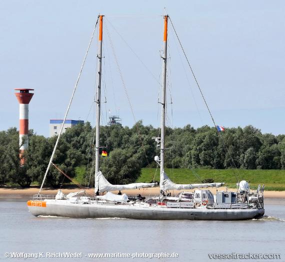
Vessel Tara IMO: 8817552, MMSI: 226070000 Research Vessel
UTC, 7.10333, -81.35333, course: -1, speed: 7
UTC, 7.12667, -81.62500, course: -1, speed: 7
2026-01-31 00:01:41 UTC, 7.17833, -81.86833, course: -1, speed: 7
Live AIS position:
UTC. 40 nm SW of Bahía Honda),
updated 2026-01-31 00:01:41 UTC.
Find the position of the vessel Tara on the map. The latter are known coordinates and path.
marine traffic ship tracker show on live map
The current position of vessel Tara is 7.17833 lat / -81.86833 lng. Updated: 2026-01-31 00:01:41 UTCDetails:
Last coordinates of the vessel:
UTC, 7.08833, -81.15500, course: -1, speed: 7UTC, 7.10333, -81.35333, course: -1, speed: 7
UTC, 7.12667, -81.62500, course: -1, speed: 7
2026-01-31 00:01:41 UTC, 7.17833, -81.86833, course: -1, speed: 7