 vesseltracker.com
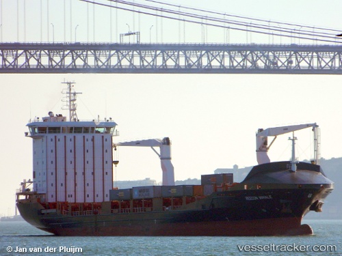
Find the position of the vessel Vera A on the map. The latter are known coordinates and path.
marine traffic ship tracker show on live map
The current position of vessel Vera A is 35.8269 lat / 10.6464 lng. Updated: 2025-07-29 03:41:31 UTCCurrently sailing under the flag of Malta
Vera A built in 2011 year
Deadweight:
12513 tDetails:
Last coordinates of the vessel:
UTC, 35.8268, 10.6464, course: 165, speed: 0UTC, 35.8268, 10.6464, course: 165, speed: 0
UTC, 35.8269, 10.6464, course: 165, speed: 0
2025-07-29 03:41:31 UTC, 35.8269, 10.6464, course: 165, speed: 0