 vesseltracker.com
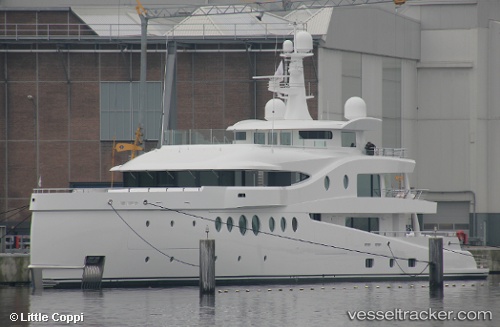
Find the position of the vessel SEA & US on the map. The latter are known coordinates and path.
marine traffic ship tracker show on live map
The current position of vessel SEA & US is 40.961893333333 lat / 28.656208333333 lng. Updated: 2025-10-28 06:45:42 UTCCurrently sailing under the flag of Malaysia
SEA & US built in 2018 year
Deadweight:
254 tDetails:
Last coordinates of the vessel:
UTC, 40.961896666667, 28.656215, course: 55, speed: 0UTC, 40.961898333333, 28.656213333333, course: 55, speed: 0
UTC, 40.961896666667, 28.65621, course: 56, speed: 0
2025-10-28 06:45:42 UTC, 40.961893333333, 28.656208333333, course: 55, speed: 0
The ship also appears on the maps: