 vesseltracker.com
Live AIS position:
54.61570° N, 1.15819° W UTC. Near TEES),
updated 2025-11-22 06:22:04 UTC.
Find the position of the vessel Orasund on the map. The latter are known coordinates and path.
marine traffic ship tracker show on live map
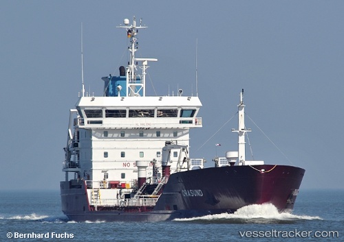
The current position of vessel Orasund is 54.61570 lat / -1.15819 lng. Updated: 2025-11-22 06:22:04 UTCCurrently sailing under the flag of Denmark
Orasund built in 2008 year
Deadweight:
4975 tDetails:
Last coordinates of the vessel:
UTC, 54.61654, -1.15612, course: 2, speed: 0.6UTC, 54.61572, -1.15778, course: 348, speed: 0.3
UTC, 54.61571, -1.15820, course: 2, speed: 0
2025-11-22 06:22:04 UTC, 54.61570, -1.15819, course: 2, speed: 0