 vesseltracker.com
Live AIS position:
36.17077° N, 5.37837° W UTC. Near CARTEYA GUADARRANQUE),
updated 2026-01-08 11:41:24 UTC.
Find the position of the vessel Martin I Soler on the map. The latter are known coordinates and path.
marine traffic ship tracker show on live map
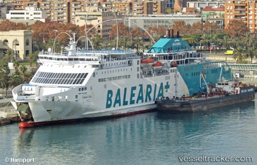
The current position of vessel Martin I Soler is 36.17077 lat / -5.37837 lng. Updated: 2026-01-08 11:41:24 UTCCurrently sailing under the flag of Spain
Martin I Soler built in 2008 year
Deadweight:
9737 tDetails:
Last coordinates of the vessel:
UTC, 36.17077, -5.37837, course: 83, speed: 0.1UTC, 36.17077, -5.37837, course: 83, speed: 0.1
UTC, 36.17077, -5.37837, course: 83, speed: 0.1
2026-01-08 11:41:24 UTC, 36.17077, -5.37837, course: 83, speed: 0.1