 vesseltracker.com
Live AIS position:
45.62910° N, 13.71609° E UTC. Near Trieste),
updated 2025-11-21 13:51:49 UTC.
Find the position of the vessel Sea Amber on the map. The latter are known coordinates and path.
marine traffic ship tracker show on live map
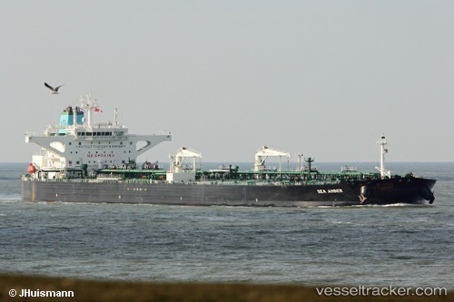
The current position of vessel Sea Amber is 45.62910 lat / 13.71609 lng. Updated: 2025-11-21 13:51:49 UTCCurrently sailing under the flag of Greece
Details:
Last coordinates of the vessel:
UTC, 45.62870, 13.71611, course: 84, speed: 0UTC, 45.62830, 13.71625, course: 77, speed: 0
UTC, 45.62851, 13.71609, course: 81, speed: 0
2025-11-21 13:51:49 UTC, 45.62910, 13.71609, course: 96, speed: 0
The ship also appears on the maps: