 vesseltracker.com
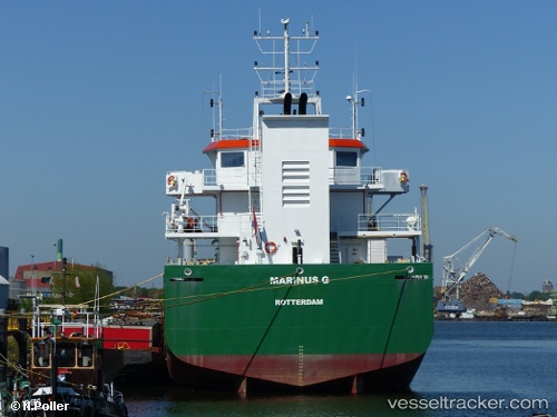
Find the position of the vessel Marinus G on the map. The latter are known coordinates and path.
marine traffic ship tracker show on live map
The current position of vessel Marinus G is 53.31978 lat / 7.03111 lng. Updated: 2025-11-01 00:42:38 UTCCurrently sailing under the flag of Netherlands
Marinus G built in 2010 year
Deadweight:
4300 tDetails:
Last coordinates of the vessel:
UTC, 53.32006, 7.02806, course: -1, speed: 0.1UTC, 53.32056, 7.02862, course: -1, speed: 0.1
UTC, 53.32003, 7.03047, course: -1, speed: 0
2025-11-01 00:42:38 UTC, 53.31978, 7.03111, course: -1, speed: 0