 vesseltracker.com
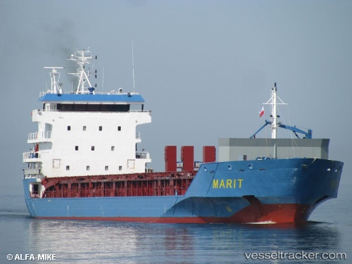
Find the position of the vessel Marit on the map. The latter are known coordinates and path.
marine traffic ship tracker show on live map
The current position of vessel Marit is 51.88884 lat / 4.27264 lng. Updated: 2025-10-03 16:25:58 UTCCurrently sailing under the flag of Netherlands
Marit built in 2008 year
Deadweight:
7092 tDetails:
Last coordinates of the vessel:
UTC, 51.88884, 4.27265, course: 163, speed: 0UTC, 51.88883, 4.27270, course: 163, speed: 0
UTC, 51.88880, 4.27266, course: 163, speed: 0
2025-10-03 16:25:58 UTC, 51.88884, 4.27264, course: 163, speed: 0