 vesseltracker.com
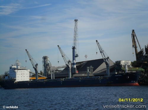
Find the position of the vessel BARBRO G on the map. The latter are known coordinates and path.
marine traffic ship tracker show on live map
The current position of vessel BARBRO G is 43.27167 lat / -79.78500 lng. Updated: 2025-10-06 01:08:13 UTCCurrently sailing under the flag of Portugal (MAR)
BARBRO G built in 2010 year
Deadweight:
29975 tDetails:
Last coordinates of the vessel:
UTC, 43.27167, -79.78500, course: -1, speed: 0UTC, 43.27167, -79.78500, course: -1, speed: 0
UTC, 43.27167, -79.78500, course: -1, speed: 0
2025-10-06 01:08:13 UTC, 43.27167, -79.78500, course: -1, speed: 0