 vesseltracker.com
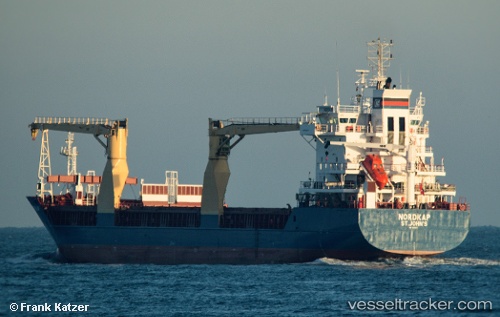
Find the position of the vessel MANISA STAR on the map. The latter are known coordinates and path.
marine traffic ship tracker show on live map
The current position of vessel MANISA STAR is 59.45203 lat / 10.52263 lng. Updated: 2025-10-04 20:02:42 UTCCurrently sailing under the flag of Portugal
MANISA STAR built in 2000 year
Deadweight:
8275 tDetails:
Last coordinates of the vessel:
UTC, 59.45203, 10.52263, course: 322, speed: 4.5UTC, 59.45203, 10.52263, course: 322, speed: 4.5
UTC, 59.45203, 10.52263, course: 322, speed: 4.5
UTC, 59.45203, 10.52263, course: 322, speed: 4.5
UTC, 59.45203, 10.52263, course: 322, speed: 4.5
2025-10-04 20:02:42 UTC, 59.45203, 10.52263, course: 322, speed: 4.5