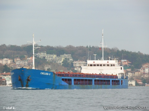
Find the position of the vessel Chelsea 3 on the map. The latter are known coordinates and path.
marine traffic ship tracker show on live map
The current position of vessel Chelsea 3 is 40.76955 lat / 28.72797 lng. Updated: 2025-10-25 21:51:46 UTCDetails:
Last coordinates of the vessel:
UTC, 40.78197, 28.74265, course: 161, speed: 0.6UTC, 40.78350, 28.72707, course: 190, speed: 0.4
UTC, 40.77335, 28.72613, course: 193, speed: 0.5
2025-10-25 21:51:46 UTC, 40.76955, 28.72797, course: 204, speed: 0.5
The ship also appears on the maps:

 vesseltracker.com