 vesseltracker.com
Find the position of the vessel Sine A on the map. The latter are known coordinates and path.
marine traffic ship tracker show on live map
The current position of vessel Sine A is 36.7242 lat / 34.7675 lng. Updated: 2025-07-14 13:44:11 UTCCurrently sailing under the flag of Malta
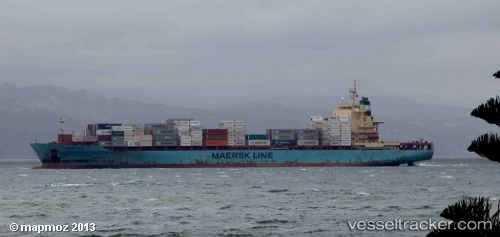
Sine A built in 2008 year
Deadweight:
39426 tDetails:
Last coordinates of the vessel:
UTC, 36.7242, 34.7674, course: 203, speed: 0UTC, 36.7242, 34.7674, course: 208, speed: 0
UTC, 36.7243, 34.7673, course: 201, speed: 0
2025-07-14 13:44:11 UTC, 36.7242, 34.7675, course: 206, speed: 0