 vesseltracker.com
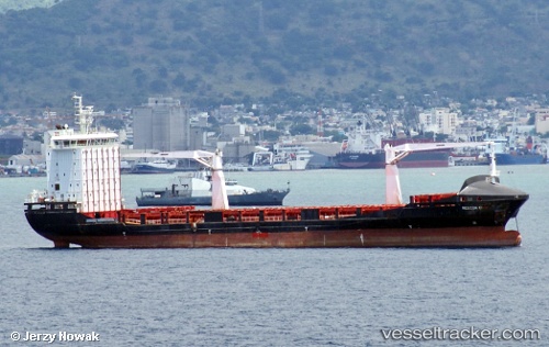
Find the position of the vessel Alexandra A on the map. The latter are known coordinates and path.
marine traffic ship tracker show on live map
The current position of vessel Alexandra A is 36.78692 lat / 20.10273 lng. Updated: 2025-10-10 10:24:46 UTCCurrently sailing under the flag of Malta
Alexandra A built in 2011 year
Deadweight:
12099 tDetails:
Last coordinates of the vessel:
UTC, 36.91297, 19.52365, course: 105, speed: 11.3UTC, 36.89082, 19.63003, course: 105, speed: 11.4
UTC, 36.84832, 19.82815, course: 105, speed: 11.5
2025-10-10 10:24:46 UTC, 36.78692, 20.10273, course: 105, speed: 11.1