 vesseltracker.com
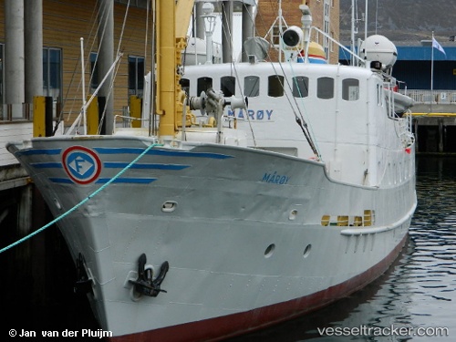
Find the position of the vessel Gamle Maroy on the map. The latter are known coordinates and path.
marine traffic ship tracker show on live map
The current position of vessel Gamle Maroy is 70.664 lat / 23.6873 lng. Updated: 2025-09-07 11:58:08 UTCCurrently sailing under the flag of Norway
Gamle Maroy built in 1959 year
Details:
Last coordinates of the vessel:
UTC, 70.664, 23.6873, course: 150, speed: 0UTC, 70.664, 23.6873, course: 149, speed: 0
UTC, 70.6641, 23.6874, course: 150, speed: 0
2025-09-07 11:58:08 UTC, 70.664, 23.6873, course: 151, speed: 0