 vesseltracker.com
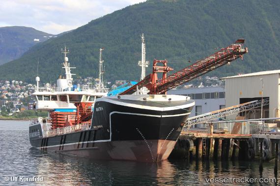
Find the position of the vessel Martin H on the map. The latter are known coordinates and path.
marine traffic ship tracker show on live map
The current position of vessel Martin H is 68.8922 lat / 17.0064 lng. Updated: 2025-07-18 15:25:06 UTCCurrently sailing under the flag of Norway
Details:
Last coordinates of the vessel:
UTC, 68.6516, 16.6157, course: 34, speed: 6.9UTC, 68.7537, 16.7725, course: 27, speed: 7.2
UTC, 68.8257, 16.8899, course: 31, speed: 6.5
2025-07-18 15:25:06 UTC, 68.8922, 17.0064, course: 30, speed: 6.2