 vesseltracker.com
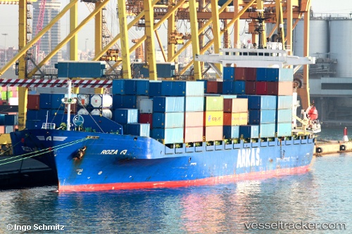
Find the position of the vessel Roza A on the map. The latter are known coordinates and path.
marine traffic ship tracker show on live map
The current position of vessel Roza A is 43.93156 lat / 28.84598 lng. Updated: 2025-10-24 15:21:36 UTCCurrently sailing under the flag of Turkey
Roza A built in 1997 year
Deadweight:
19325 tDetails:
Last coordinates of the vessel:
UTC, 44.15164, 28.64746, course: 252, speed: 0UTC, 44.15266, 28.65532, course: 257, speed: 2.2
UTC, 44.08032, 28.71133, course: 157, speed: 10.7
2025-10-24 15:21:36 UTC, 43.93156, 28.84598, course: 152, speed: 10.3