 vesseltracker.com
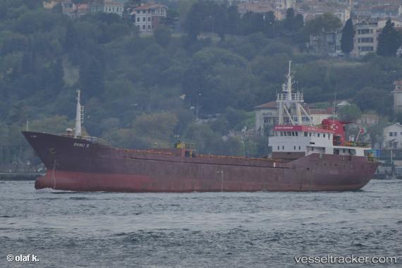
Find the position of the vessel Banu S on the map. The latter are known coordinates and path.
marine traffic ship tracker show on live map
The current position of vessel Banu S is 40.67641 lat / 27.60798 lng. Updated: 2025-10-28 15:42:13 UTCCurrently sailing under the flag of Turkey
Details:
Last coordinates of the vessel:
UTC, 40.64715, 27.57119, course: 357, speed: 0UTC, 40.64709, 27.57121, course: 357, speed: 0.1
UTC, 40.64830, 27.56354, course: 33, speed: 0.1
2025-10-28 15:42:13 UTC, 40.67641, 27.60798, course: 56, speed: 7.1