 vesseltracker.com
Live AIS position:
40.96168° N, 28.67243° E UTC. Near Ambarli),
updated 2025-11-20 02:13:04 UTC.
Find the position of the vessel Roseline A on the map. The latter are known coordinates and path.
marine traffic ship tracker show on live map
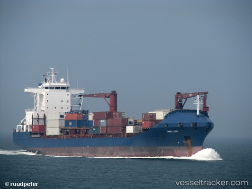
The current position of vessel Roseline A is 40.96168 lat / 28.67243 lng. Updated: 2025-11-20 02:13:04 UTCCurrently sailing under the flag of Turkey
Roseline A built in 1998 year
Deadweight:
16727 tDetails:
Last coordinates of the vessel:
UTC, 40.96170, 28.67245, course: 357, speed: 0UTC, 40.96171, 28.67241, course: 357, speed: 0
UTC, 40.96167, 28.67242, course: 356, speed: 0
2025-11-20 02:13:04 UTC, 40.96168, 28.67243, course: 356, speed: 0