 vesseltracker.com
Find the position of the vessel Muhammet Gumustas 4 on the map. The latter are known coordinates and path.
marine traffic ship tracker show on live map
The current position of vessel Muhammet Gumustas 4 is 40.43306 lat / 29.12093 lng. Updated: 2025-11-09 00:27:34 UTCCurrently sailing under the flag of Turkey
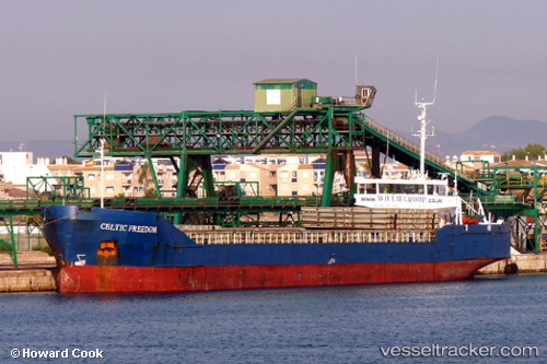
Muhammet Gumustas 4 built in 1986 year
Deadweight:
3473 tDetails:
Last coordinates of the vessel:
UTC, 40.43321, 29.12104, course: 100, speed: 0UTC, 40.43321, 29.12104, course: 100, speed: 0
UTC, 40.43306, 29.12093, course: 80, speed: 0
2025-11-09 00:27:34 UTC, 40.43306, 29.12093, course: 95, speed: 0