 vesseltracker.com
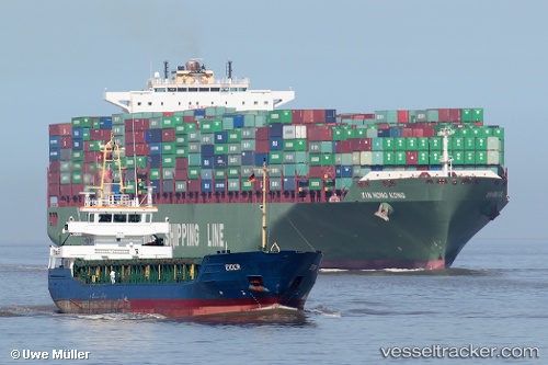
Find the position of the vessel Eider on the map. The latter are known coordinates and path.
marine traffic ship tracker show on live map
The current position of vessel Eider is 51.234858333333 lat / -3.452675 lng. Updated: 2025-09-15 04:40:53 UTCCurrently sailing under the flag of Antigua Barbuda
Eider built in 2003 year
Deadweight:
3672 tDetails:
Last coordinates of the vessel:
UTC, 51.221616666667, -3.4204133333333, course: 175, speed: 0.7UTC, 51.224423333333, -3.4275216666667, course: 90, speed: 4.6
UTC, 51.225968333333, -3.411285, course: 100, speed: 3.3
2025-09-15 04:40:53 UTC, 51.234858333333, -3.452675, course: 90, speed: 1.9