 vesseltracker.com
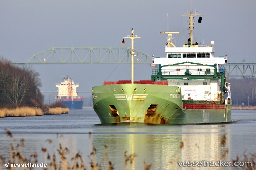
Find the position of the vessel KAIE on the map. The latter are known coordinates and path.
marine traffic ship tracker show on live map
The current position of vessel KAIE is 55.25068 lat / -9.10586 lng. Updated: 2025-10-18 16:43:41 UTCCurrently sailing under the flag of Antigua and Barbuda
KAIE built in 2010 year
Deadweight:
11048 tDetails:
Last coordinates of the vessel:
UTC, 54.61279, -9.93558, course: 35, speed: 12.1UTC, 55.25068, -9.10586, course: 40, speed: 12.1
UTC, 55.25068, -9.10586, course: 40, speed: 12.1
2025-10-18 16:43:41 UTC, 55.25068, -9.10586, course: 40, speed: 12.1
The ship also appears on the maps: