 vesseltracker.com
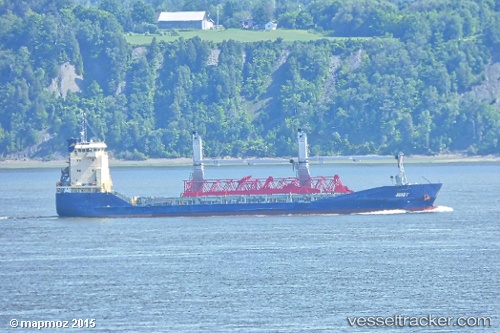
Find the position of the vessel Juist on the map. The latter are known coordinates and path.
marine traffic ship tracker show on live map
The current position of vessel Juist is 18.83946 lat / 72.71694 lng. Updated: 2025-10-03 02:16:06 UTCDetails:
Last coordinates of the vessel:
UTC, 18.94107, 72.84375, course: 194, speed: 0UTC, 18.86333, 72.82667, course: -1, speed: 6
UTC, 18.86142, 72.82249, course: 242, speed: 6.6
2025-10-03 02:16:06 UTC, 18.83946, 72.71694, course: 253, speed: 7