 vesseltracker.com
Live AIS position:
51.45491° N, 3.72321° E UTC. Near Nieuwdorp),
updated 2025-11-21 05:52:21 UTC.
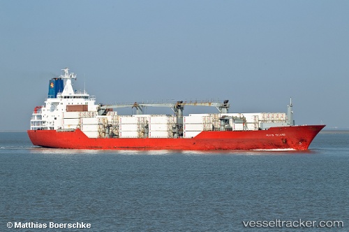
Find the position of the vessel Hood Island on the map. The latter are known coordinates and path.
marine traffic ship tracker show on live map
The current position of vessel Hood Island is 51.45491 lat / 3.72321 lng. Updated: 2025-11-21 05:52:21 UTCCurrently sailing under the flag of Bahamas
Hood Island built in 1994 year
Deadweight:
14140 tDetails:
Last coordinates of the vessel:
UTC, 51.45492, 3.72322, course: 239, speed: 0UTC, 51.45493, 3.72322, course: 240, speed: 0
UTC, 51.45495, 3.72320, course: 240, speed: 0
2025-11-21 05:52:21 UTC, 51.45491, 3.72321, course: 239, speed: 0
The ship also appears on the maps: