 vesseltracker.com
Live AIS position:
51.20597° N, 3.80170° E UTC. Near Zelzate),
updated 2025-11-23 19:30:53 UTC.
Find the position of the vessel Jomi on the map. The latter are known coordinates and path.
marine traffic ship tracker show on live map
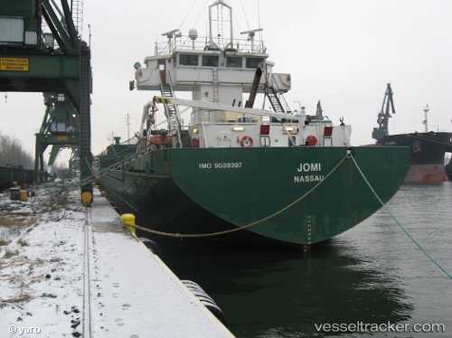
The current position of vessel Jomi is 51.20597 lat / 3.80170 lng. Updated: 2025-11-23 19:30:53 UTCCurrently sailing under the flag of Bahamas
Jomi built in 1991 year
Deadweight:
4258 tDetails:
Last coordinates of the vessel:
UTC, 51.16507, 3.78552, course: 78, speed: 0UTC, 51.16508, 3.78552, course: 77, speed: 0
UTC, 51.16508, 3.78550, course: 78, speed: 0
2025-11-23 19:30:53 UTC, 51.20597, 3.80170, course: 3, speed: 8.2