 vesseltracker.com
Find the position of the vessel MEMNUNE K on the map. The latter are known coordinates and path.
marine traffic ship tracker show on live map
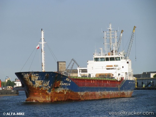
The current position of vessel MEMNUNE K is 44.09513 lat / 28.64270 lng. Updated: 2025-11-11 08:41:59 UTCCurrently sailing under the flag of Barbados
MEMNUNE K built in 2010 year
Deadweight:
4487 tDetails:
Last coordinates of the vessel:
UTC, 44.09515, 28.64273, course: 333, speed: 0UTC, 44.09507, 28.64273, course: 333, speed: 0
UTC, 44.09513, 28.64275, course: 333, speed: 0
2025-11-11 08:41:59 UTC, 44.09513, 28.64270, course: 333, speed: 0