 vesseltracker.com
Live AIS position:
44.73022° N, 37.79167° E UTC. Near Novorossiysk),
updated 2025-11-20 15:56:57 UTC.
Find the position of the vessel PRINCESS MANISSA on the map. The latter are known coordinates and path.
marine traffic ship tracker show on live map
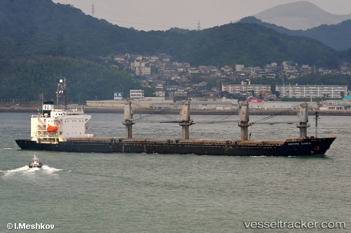
The current position of vessel PRINCESS MANISSA is 44.73022 lat / 37.79167 lng. Updated: 2025-11-20 15:56:57 UTCCurrently sailing under the flag of St Kitts Nevis
PRINCESS MANISSA built in 1994 year
Deadweight:
22020 tDetails:
Last coordinates of the vessel:
UTC, 44.73016, 37.79168, course: 319, speed: 0.3UTC, 44.73022, 37.79167, course: 320, speed: 1.6
UTC, 44.73022, 37.79167, course: 320, speed: 1.6
2025-11-20 15:56:57 UTC, 44.73022, 37.79167, course: 320, speed: 1.6