 vesseltracker.com
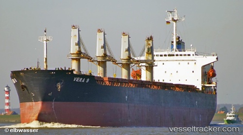
Vessel Era S IMO: 9202118, MMSI: 372430000 Bulk Carrier
UTC, 1.27833, 103.92833, course: -1, speed: 0
UTC, 1.28112, 103.92964, course: -1, speed: 0
2026-01-15 04:23:30 UTC, 1.28163, 103.92963, course: -1, speed: 0
Live AIS position:
UTC. Near Tampines),
updated 2026-01-15 04:23:30 UTC.
Find the position of the vessel Era S on the map. The latter are known coordinates and path.
marine traffic ship tracker show on live map
The current position of vessel Era S is 1.28163 lat / 103.92963 lng. Updated: 2026-01-15 04:23:30 UTCDetails:
Last coordinates of the vessel:
UTC, 1.23455, 103.94680, course: -1, speed: 5.2UTC, 1.27833, 103.92833, course: -1, speed: 0
UTC, 1.28112, 103.92964, course: -1, speed: 0
2026-01-15 04:23:30 UTC, 1.28163, 103.92963, course: -1, speed: 0