 vesseltracker.com
Live AIS position:
23.03724° N, 113.51863° E UTC. Near MCID - Private Terminal),
updated 2025-11-23 23:40:25 UTC.
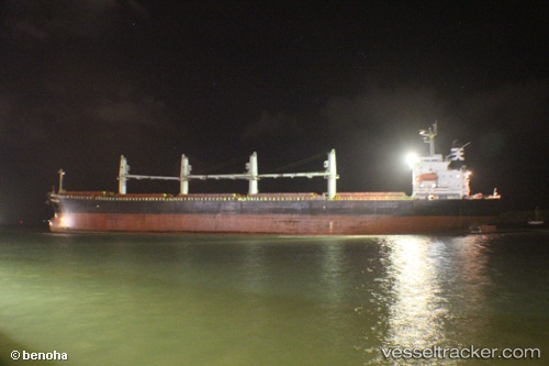
Find the position of the vessel Samir on the map. The latter are known coordinates and path.
marine traffic ship tracker show on live map
The current position of vessel Samir is 23.03724 lat / 113.51863 lng. Updated: 2025-11-23 23:40:25 UTCDetails:
Last coordinates of the vessel:
UTC, 23.03725, 113.51859, course: -1, speed: 0UTC, 23.03721, 113.51867, course: -1, speed: 0
UTC, 23.03720, 113.51859, course: -1, speed: 0
2025-11-23 23:40:25 UTC, 23.03724, 113.51863, course: -1, speed: 0