 vesseltracker.com
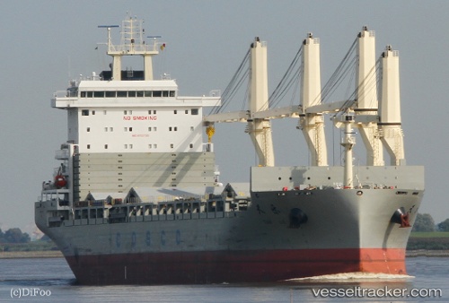
Vessel Tian Le IMO: 9722730, MMSI: 412478730 General Cargo Ship
UTC, 58.71699, -3.83713, course: 265, speed: 12.3
UTC, 58.71569, -4.15352, course: 268, speed: 12.6
2026-01-17 10:23:27 UTC, 58.71434, -4.24836, course: 263, speed: 12.7
Live AIS position:
UTC. 11 nm N of Skerray),
updated 2026-01-17 10:23:27 UTC.
Find the position of the vessel Tian Le on the map. The latter are known coordinates and path.
marine traffic ship tracker show on live map
The current position of vessel Tian Le is 58.71434 lat / -4.24836 lng. Updated: 2026-01-17 10:23:27 UTCDetails:
Last coordinates of the vessel:
UTC, 58.59531, -2.84838, course: 313, speed: 12UTC, 58.71699, -3.83713, course: 265, speed: 12.3
UTC, 58.71569, -4.15352, course: 268, speed: 12.6
2026-01-17 10:23:27 UTC, 58.71434, -4.24836, course: 263, speed: 12.7