 vesseltracker.com
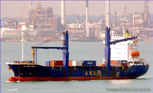
Vessel ELLA Y IMO: 9132399, MMSI: 511100639 Cargo
UTC, 44.41314, 37.47330, course: 226, speed: 2.1
UTC, 44.45905, 37.41088, course: 229, speed: 2.3
2026-02-15 15:18:13 UTC, 44.45905, 37.41088, course: 229, speed: 2.3
Live AIS position:
UTC. 16 nm SW of Cpc Terminal),
updated 2026-02-15 15:18:13 UTC.
Find the position of the vessel ELLA Y on the map. The latter are known coordinates and path.
marine traffic ship tracker show on live map
The current position of vessel ELLA Y is 44.45905 lat / 37.41088 lng. Updated: 2026-02-15 15:18:13 UTCCurrently sailing under the flag of Palau
ELLA Y built in 1996 year
Deadweight:
11321 tDetails:
Last coordinates of the vessel:
UTC, 44.36410, 37.54274, course: 226, speed: 2UTC, 44.41314, 37.47330, course: 226, speed: 2.1
UTC, 44.45905, 37.41088, course: 229, speed: 2.3
2026-02-15 15:18:13 UTC, 44.45905, 37.41088, course: 229, speed: 2.3