 vesseltracker.com
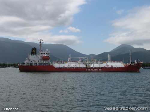
Vessel SAMANYOLU IMO: 9359569, MMSI: 511101642 Lpg Tanker
UTC, 40.96204, 28.74666, course: 339, speed: 0
UTC, 40.96220, 28.74719, course: 322, speed: 0
2026-01-18 04:06:55 UTC, 40.96200, 28.74613, course: 8, speed: 0.2
Live AIS position:
UTC. Near Küçükçekmece),
updated 2026-01-18 04:06:55 UTC.
Find the position of the vessel SAMANYOLU on the map. The latter are known coordinates and path.
marine traffic ship tracker show on live map
The current position of vessel SAMANYOLU is 40.96200 lat / 28.74613 lng. Updated: 2026-01-18 04:06:55 UTCCurrently sailing under the flag of Palau
Details:
Last coordinates of the vessel:
UTC, 40.96199, 28.74609, course: 1, speed: 0UTC, 40.96204, 28.74666, course: 339, speed: 0
UTC, 40.96220, 28.74719, course: 322, speed: 0
2026-01-18 04:06:55 UTC, 40.96200, 28.74613, course: 8, speed: 0.2