 vesseltracker.com
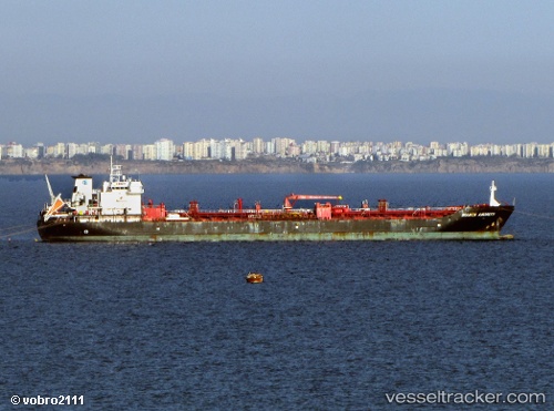
Find the position of the vessel M K A on the map. The latter are known coordinates and path.
marine traffic ship tracker show on live map
The current position of vessel M K A is 2.17733 lat / 102.173 lng. Updated: 2025-08-18 09:58:03 UTCCurrently sailing under the flag of Cook islands
M K A built in 2003 year
Deadweight:
29524 tDetails:
Last coordinates of the vessel:
UTC, 2.178, 102.175, course: 215, speed: 0.1UTC, 2.17817, 102.175, course: 191, speed: 0.1
UTC, 2.1775, 102.174, course: 135, speed: 0
2025-08-18 09:58:03 UTC, 2.17733, 102.173, course: 124, speed: 0