 vesseltracker.com
Find the position of the vessel KAPAL CANTIK on the map. The latter are known coordinates and path.
marine traffic ship tracker show on live map
The current position of vessel KAPAL CANTIK is 36.2925 lat / 27.0558 lng. Updated: 2025-01-30 10:09:58 UTCCurrently sailing under the flag of Cook Is
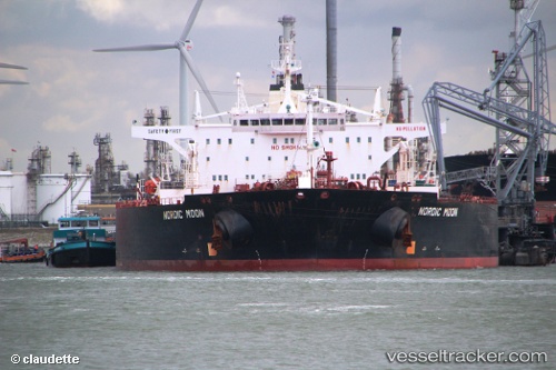
KAPAL CANTIK built in 2002 year
Port of registry:
Majuro (capital of the Marshall Islands)Deadweight:
160200 tPayload_mass:
160305.1 tonneGross tonnage:
81310Service entry:
2002-01-01T00:00:00ZManufacturer:
Samsung Heavy Industries (South Korean shipbuilding company)Details:
Last coordinates of the vessel:
UTC, 36.2925, 27.0558, course: 316, speed: 5UTC, 36.2925, 27.0558, course: 316, speed: 5
UTC, 36.2925, 27.0558, course: 316, speed: 5
2025-01-30 10:09:58 UTC, 36.2925, 27.0558, course: 316, speed: 5