 vesseltracker.com
Live AIS position:
40.96193° N, 28.65618° E UTC. Near Ambarli),
updated 2025-11-21 23:39:16 UTC.
Find the position of the vessel SEA & US on the map. The latter are known coordinates and path.
marine traffic ship tracker show on live map
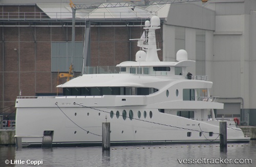
The current position of vessel SEA & US is 40.96193 lat / 28.65618 lng. Updated: 2025-11-21 23:39:16 UTCCurrently sailing under the flag of Malaysia
SEA & US built in 2018 year
Deadweight:
254 tDetails:
Last coordinates of the vessel:
UTC, 40.96194, 28.65618, course: 54, speed: 0UTC, 40.96194, 28.65619, course: 54, speed: 0
UTC, 40.96193, 28.65619, course: 55, speed: 0
2025-11-21 23:39:16 UTC, 40.96193, 28.65618, course: 55, speed: 0
The ship also appears on the maps: