 vesseltracker.com
Find the position of the vessel LADY ELA on the map. The latter are known coordinates and path.
marine traffic ship tracker show on live map
The current position of vessel LADY ELA is 53.76329 lat / 3.77198 lng. Updated: 2025-10-16 21:03:08 UTCCurrently sailing under the flag of Marshall Is
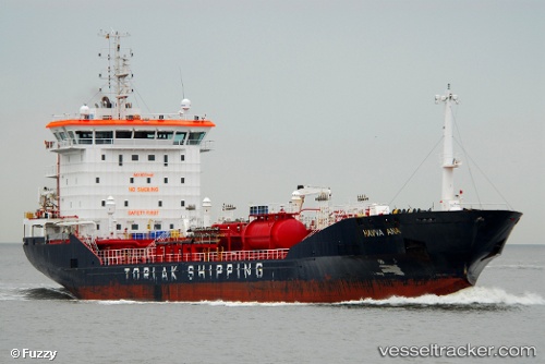
LADY ELA built in 2009 year
Deadweight:
7668 tDetails:
Last coordinates of the vessel:
UTC, 54.055, 4.6766666666667, course: -1, speed: 11UTC, 54.036666666667, 4.4283333333333, course: -1, speed: 11
UTC, 53.896666666667, 4.0883316666667, course: -1, speed: 12
2025-10-16 21:03:08 UTC, 53.76329, 3.77198, course: 237, speed: 12.4
The ship also appears on the maps: