 vesseltracker.com
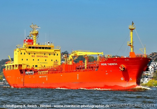
Find the position of the vessel Rio Daytona on the map. The latter are known coordinates and path.
marine traffic ship tracker show on live map
The current position of vessel Rio Daytona is 37.56263 lat / -1.07616 lng. Updated: 2025-11-11 06:49:24 UTCCurrently sailing under the flag of Marshall Is
Rio Daytona built in 2010 year
Deadweight:
12835 tDetails:
Last coordinates of the vessel:
UTC, 37.56287, -1.07632, course: 70, speed: 0.1UTC, 37.56258, -1.07614, course: 51, speed: 0
UTC, 37.56269, -1.07618, course: 57, speed: 0
2025-11-11 06:49:24 UTC, 37.56263, -1.07616, course: 52, speed: 0