 vesseltracker.com
Find the position of the vessel Lady Alara on the map. The latter are known coordinates and path.
marine traffic ship tracker show on live map
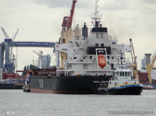
The current position of vessel Lady Alara is 53.4473 lat / -3.0108666666667 lng. Updated: 2025-10-18 07:54:51 UTCCurrently sailing under the flag of Marshall Is
Lady Alara built in 2011 year
Deadweight:
30130 tDetails:
Last coordinates of the vessel:
UTC, 53.447333333333, -3.0108966666667, course: 68, speed: 0UTC, 53.447328333333, -3.0109166666667, course: 68, speed: 0
UTC, 53.447336666667, -3.0109366666667, course: 68, speed: 0
2025-10-18 07:54:51 UTC, 53.4473, -3.0108666666667, course: 68, speed: 0