 vesseltracker.com
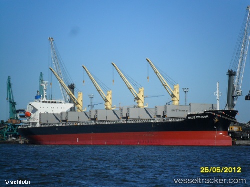
Live AIS position:
22.31426° N, 91.72650° E UTC. Near Chittagong),
updated 2025-11-23 07:58:50 UTC.
Find the position of the vessel BLUE DRAGON on the map. The latter are known coordinates and path.
marine traffic ship tracker show on live map
The current position of vessel BLUE DRAGON is 22.31426 lat / 91.72650 lng. Updated: 2025-11-23 07:58:50 UTCCurrently sailing under the flag of Marshall Islands
BLUE DRAGON built in 2011 year
Deadweight:
38238 tDetails:
Last coordinates of the vessel:
UTC, 22.31442, 91.72643, course: 168, speed: 0UTC, 22.31459, 91.72572, course: 166, speed: 0.1
UTC, 22.31398, 91.72611, course: 164, speed: 0.1
2025-11-23 07:58:50 UTC, 22.31426, 91.72650, course: 176, speed: 0.1