 vesseltracker.com
Find the position of the vessel Alatau on the map. The latter are known coordinates and path.
marine traffic ship tracker show on live map
The current position of vessel Alatau is 43.177048333333 lat / 33.346288333333 lng. Updated: 2025-10-24 22:42:00 UTCCurrently sailing under the flag of Marshall Is
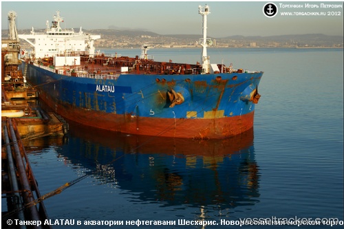
Alatau built in 2009 year
Deadweight:
115949 tDetails:
Last coordinates of the vessel:
UTC, 43.147125, 34.072501666667, course: 270, speed: 12.2UTC, 43.154893333333, 33.813791666667, course: 270, speed: 11.9
UTC, 43.161666666667, 33.565, course: -1, speed: 11
2025-10-24 22:42:00 UTC, 43.177048333333, 33.346288333333, course: 275, speed: 11.3
The ship also appears on the maps: