 vesseltracker.com
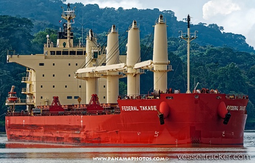
Vessel Federal Takase IMO: 9658989, MMSI: 538006467 Bulk Carrier
UTC, 34.47796, 133.96748, course: 42, speed: 0
UTC, 34.47793, 133.96750, course: 42, speed: 0
2026-01-13 17:50:32 UTC, 34.47793, 133.96748, course: 42, speed: 0.1
Live AIS position:
UTC. Near Uno),
updated 2026-01-13 17:50:32 UTC.
Find the position of the vessel Federal Takase on the map. The latter are known coordinates and path.
marine traffic ship tracker show on live map
The current position of vessel Federal Takase is 34.47793 lat / 133.96748 lng. Updated: 2026-01-13 17:50:32 UTCCurrently sailing under the flag of Marshall Is
Details:
Last coordinates of the vessel:
UTC, 34.47795, 133.96750, course: 42, speed: 0UTC, 34.47796, 133.96748, course: 42, speed: 0
UTC, 34.47793, 133.96750, course: 42, speed: 0
2026-01-13 17:50:32 UTC, 34.47793, 133.96748, course: 42, speed: 0.1