 vesseltracker.com
Live AIS position:
13.15383° N, 61.22973° W UTC. Near Kingstown),
updated 2025-11-23 20:24:24 UTC.
Find the position of the vessel HYDRA DAWN on the map. The latter are known coordinates and path.
marine traffic ship tracker show on live map
The current position of vessel HYDRA DAWN is 13.15383 lat / -61.22973 lng. Updated: 2025-11-23 20:24:24 UTCCurrently sailing under the flag of Marshall Islands
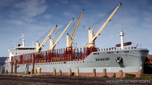
HYDRA DAWN built in 2013 year
Deadweight:
34274 tDetails:
Last coordinates of the vessel:
UTC, 13.15383, -61.22970, course: 295, speed: 0.1UTC, 13.15383, -61.22968, course: 298, speed: 0.1
UTC, 13.15381, -61.22973, course: 296, speed: 0
2025-11-23 20:24:24 UTC, 13.15383, -61.22973, course: 296, speed: 0.1