 vesseltracker.com
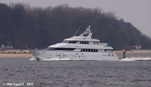
Find the position of the vessel Lady M I I on the map. The latter are known coordinates and path.
marine traffic ship tracker show on live map
The current position of vessel Lady M I I is 18.318138333333 lat / -64.621808333333 lng. Updated: 2025-10-27 23:26:43 UTCCurrently sailing under the flag of Marshall Is
Lady M I I built in 1994 year
Details:
Last coordinates of the vessel:
UTC, 18.318131666667, -64.62174, course: 50, speed: 0.2UTC, 18.31819, -64.62176, course: 63, speed: 0.2
UTC, 18.318375, -64.621773333333, course: 90, speed: 0
2025-10-27 23:26:43 UTC, 18.318138333333, -64.621808333333, course: 111, speed: 0.1